You are here
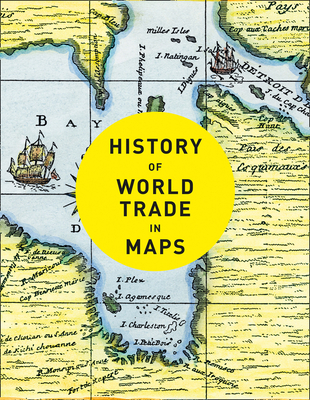
Back to topHistory of World Trade in Maps (Hardcover)
$39.95
Email or call for price
Email or call for price
Description
Trade is the lifeblood of nations. It has provided vital goods and wealth to countries and merchants from the ancient Egyptians who went in search of gold and ivory to their 21st-century equivalents trading high-tech electronic equipment from the Far East .In this beautiful book, more than 70 maps give a visual representation of the history of World Commerce, accompanied by text which tells the extraordinary story of the merchants, adventurers, middle-men, and monarchs who bought, sold, explored, and fought in search of profit and power. The maps are all works of art, witnesses to history, and have a fascinating story to tell. The maps include:
• Çatalhöyük Plan, c. 6200BC
• Babylonian Map of the World, c. 600BC
• Stone Map of China, 1136
• Hereford Mappa Mundi, c. 1300
• Buondelmonti Map of Constantinople, c. 1420
• The Waldseemüller Map, 1507
• James Rennell Map of Hindoostan, 1782
• Air Age Map, 1945
• Johns Hopkins Covid-19 Dashboard, 2020
About the Author
Philip Parker is a historian and Sunday Times bestselling author with The Northman’s Fury, who studied at Cambridge and Johns Hopkins University. He has written widely on late antiquity, the early Middle Ages and world history, and his unique panoramic history of the nation was published by Collins. He lives in London.